


Cyclists find the safest path using app
Sam Canelake
Mesa Legend
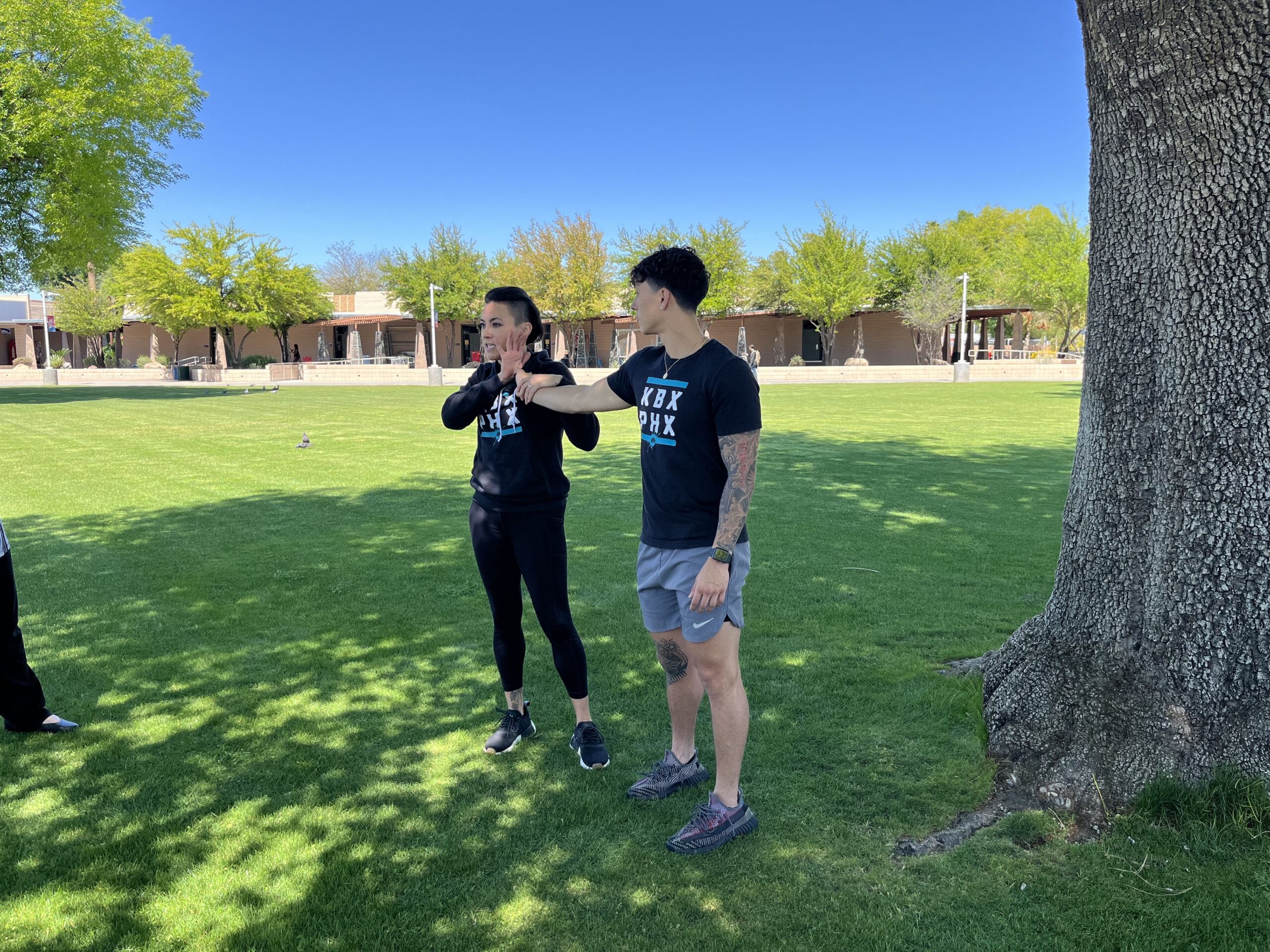
 Bicycling has long been regarded as the ideal alternative mode of transportation to the automobile. Cycling is a reliable, affordable and sustainable option, but it can also be dangerous. According the National Highway Traffic Safety Administration, per-capita, Arizona is the 4th deadliest state for bicycle-related fatalities in the country. An average of 20 cyclists are killed each year on Arizona roads. Although these figures illustrate an urgent need to address this issue, many non-fatal incidents go unreported.
In 2014, current ASU Director of the School of Geographic Sciences and Urban Planning at ASU, Trisalyn Nelson, created a global mapping resource called BikeMaps.org It encourages bicyclists to record incidents that are typically unreported in traffic safety analyses by public officials and city planners. The initiative is part of a growing trend called “Crowdmapping” which relies on public participation to contribute information on concerning trends within their community.
According to the study only 30 percent of bicycle related incidents are reported in police, insurance, and hospital records. The goal of the BikeMaps.org project is to provide a platform for cyclists to share this data themselves. “One thing that’s tricky for cyclists, is that when you do have an incident on your bike, it’s really hard to know where to report it,” Nelson said. “So that’s why encouraging people to report to BikeMaps.org can be so powerful.” Citizen-driven data has allowed BikeMaps.org to bring new information to the attention of policy makers and city planners.